Document
Naval Operation Orders for the British Assault Area in Preparation for D-Day (1944)
Key Details
Date: May 15, 1944
Created By: J.W. Rivett-Carnac
Original or Replica: Original
Era: The General, D-Day and the Normandy Invasion
Collection: Eisenhower Presidential Library
Citations: Walter Bedell Smith Collection of World War II Documents, Box 48, British Assault Area – Naval Operation Orders Operation Neptune (1); NAID #12004565
About
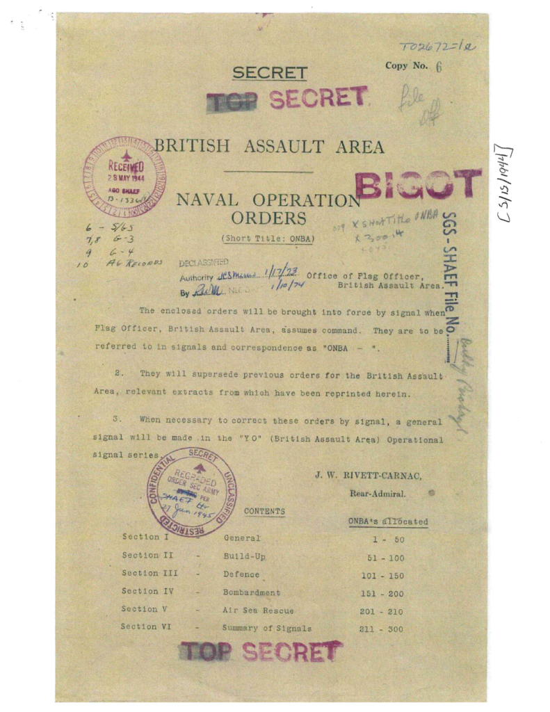
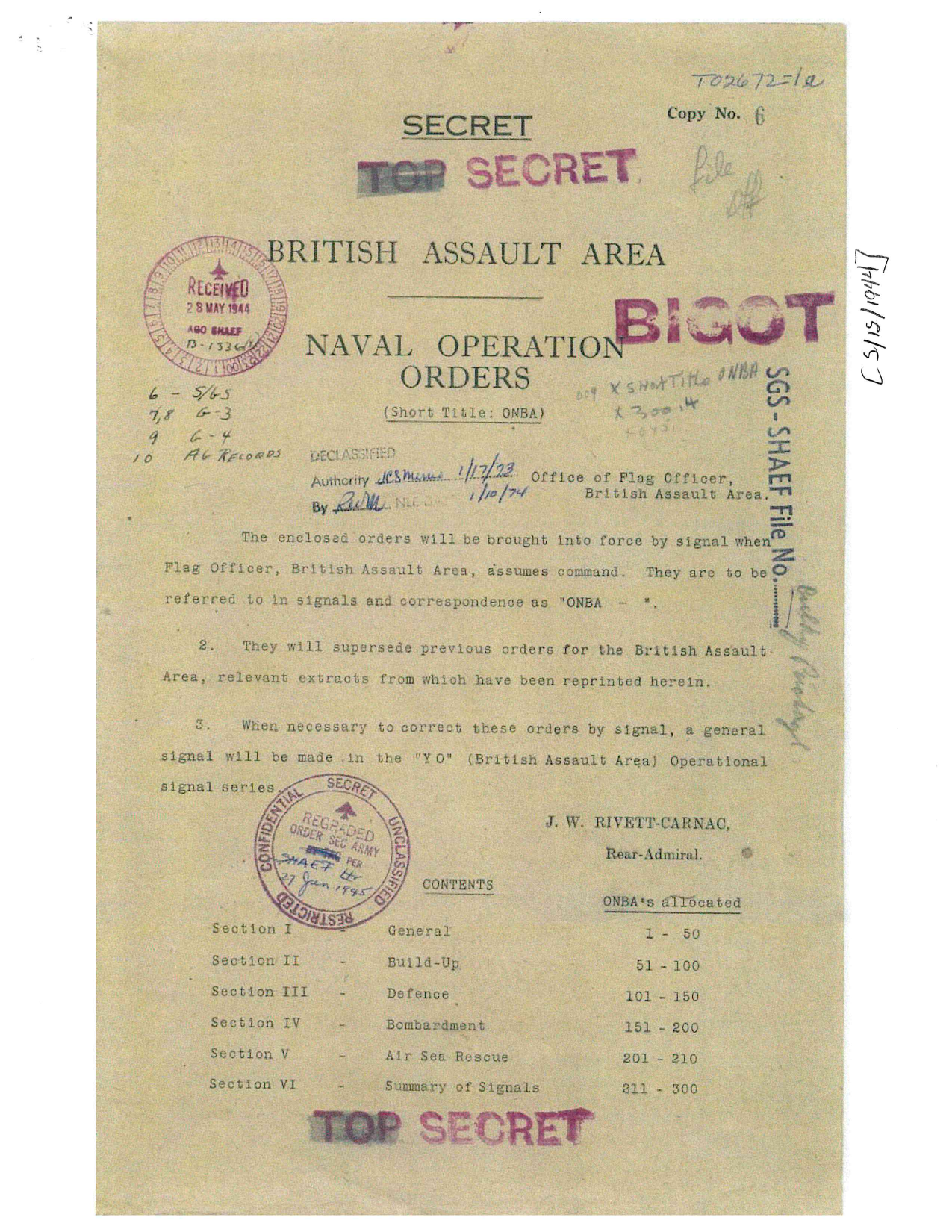
These secret British Assault Area Naval Operation Orders, dated May 15, 1944, established the organization and geographic boundaries for British naval operations in preparation for the Allied invasion of Normandy. Issued under Rear Admiral J. W. Rivett-Carnac, the orders were intended to govern naval activities once the Flag Officer, British Assault Area, assumed command. The complete orders covered general operations, buildup, defense, bombardment, air-sea rescue, and communications.
The pages included here focus on defining and subdividing the British Assault Area off the northern coast of France. A detailed map identifies the British Gold, Juno, and Sword assault areas, along with harbor and seaward zones extending toward Le Havre. The orders establish precise geographic boundaries, reference points, mined areas, anchorages, and the dividing line between British and American naval areas.
The document also provides a system for identifying specific berths and positions within the British harbor area, allowing naval forces to coordinate ship movements and anchorages during the invasion. Together, these instructions illustrate the detailed planning required to organize the enormous naval force supporting the Normandy landings and safely move vessels into designated areas off the invasion beaches.
Used In These Lessons & Programs
Bring History to Life
Join us for engaging learning experiences designed for young minds.